
“Why don’t more people know about this, and why isn’t everyone using it?” That pretty much sums up my feelings about MapBox.
This OpenStreetMap-based platform allows you to quickly create and integrate maps for print, web, and mobile applications. We’ve all seen MapBox maps before. For example, they are used by Foursquare, Le Monde, Evernote 5 for Mac, GitHub, and Greenpeace. Even if you don’t currently need maps for a project, it’s simply incredibly fun to design your own.
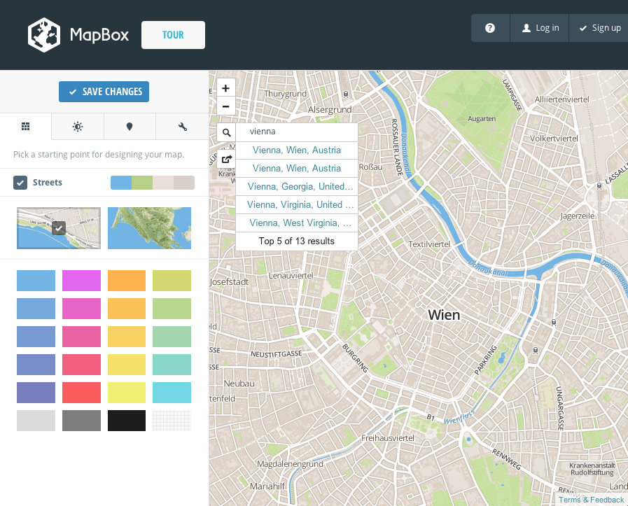
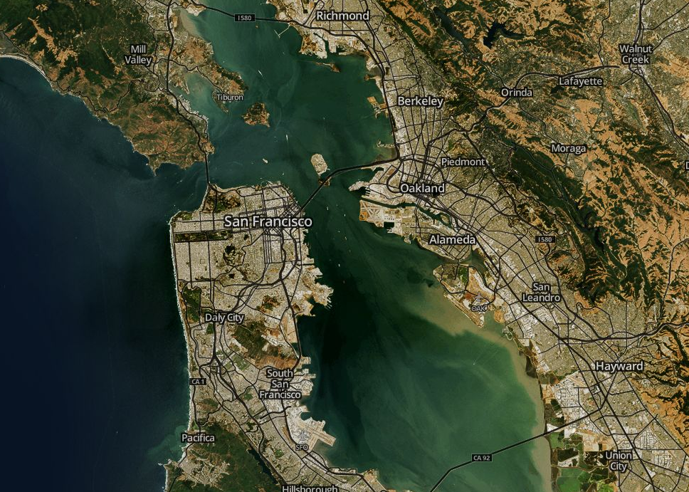
On Mapbox.com, all information is clearly structured and listed. To test the platform, you can create your first map without even registering. You can use MapBox for free with up to 3,000 clicks per month and 50 MB of storage. However, the satellite view is only available from $5 per month. Integration with Drupal is also possible via the Map Box module.
The service can also be used on smartphones by clicking the pen icon to access the preview. This takes a moment to figure out, but once you do, it loads instantly, with no long waiting times whatsoever.
For me, the best feature is the complete freedom you have when it comes to easily colouring the individual areas. These are categorised into streets, buildings, areas, water, and land. We have 3 different views to choose from: Street, Terrain, and Satellite. It’s also easy to place multiple markers with different appearances. While there are pre-made colour patterns, you can also integrate your own colours using HEX codes.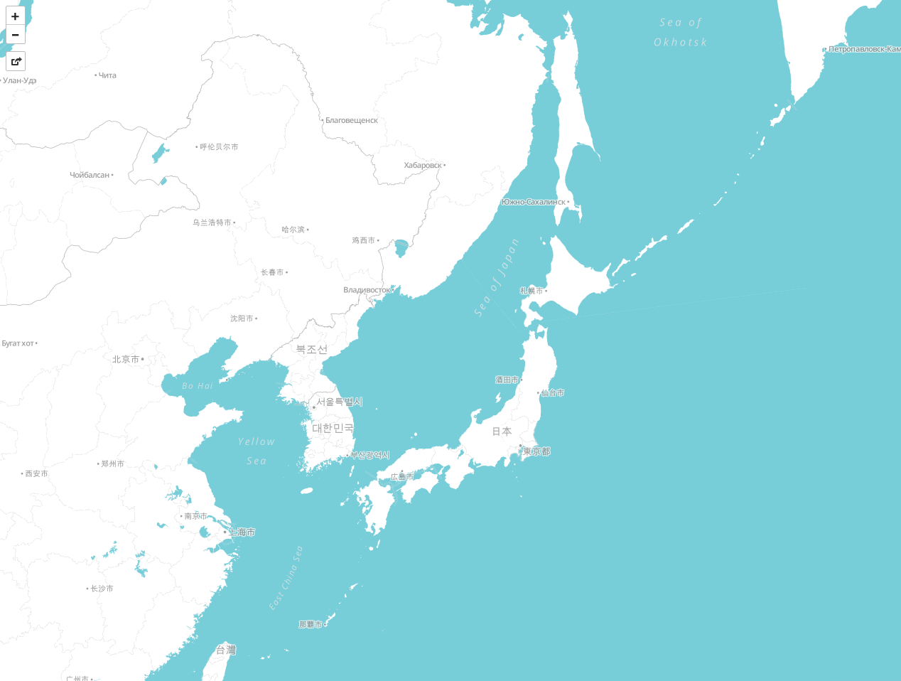
What surprised me was the loading speed of the maps.
! MapBox serves maps from 30 globally distributed edge servers. With an edge server close by, MapBox is fast no matter where you are.
I believe that without a doubt!
Particularly exciting is TileMill, an open source project by MapBox – your own geodata can be styled and made interactive in any way you wish. The download is available here.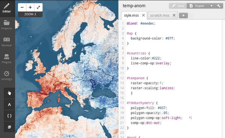
A minor drawback: unfortunately, the excellent colour sliders, at least on the iPhone, cannot be moved despite the most determined swipe gestures. The search for cities works wonderfully, for towns only sometimes, and for street names not at all.